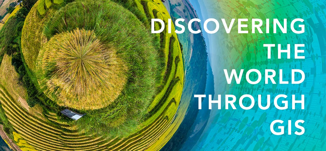
On the face of it, having a celebration ‘Day’ for Geographical Information Systems (GIS) might seem a little obscure and pedantic. After all, “what exactly has GIS ever done for me?”, I hear you cry. And we would respond by confirming that GIS has an increasingly important yet unassuming role across all the places we work, live and play.
That is certainly true here at RAB Consultants, where GIS is applied to real life projects which make a difference to our clients and the wider society. For us, therefore, GIS is very much worthy of its own ‘Day’ in the limelight! And that day is here, Wednesday 17th November 2021.
We therefore asked some of the teams here at RAB to detail how GIS is used in their day-to-day work, starting with the Flood Risk Assessment & Drainage team:
- Assess and analyse data outputs from 1D/2D models.
- Estimate flood levels in the absence of models to assess the flood risk to a proposed site/development.
- Interpret LiDAR data to understand the topography of an area.
- Create maps to show risk of flooding in specific areas.
The Flood Asset Inspection and Engineering team use GIS to:
- Undertake the Navigation Visual Asset Inspections for the Environment Agency.
- Accurately plot asset locations and geometry and then,
- Use the GIS based collector application to collect information in line with the Visual Asset Inspection Principles such as element breakdown, material, importance weighing condition grade, comments, and future recommendations,
- Collect data for asset inspections including ongoing inspections in North Ayrshire Coastal
The Flood Forecasting and Warning team use GIS to:
- Support with revisions to the Flood Warning and Alert thresholds using:
- Satellite data to map historic flood extents alongside
- Modelled flood extents from the Environment Agency and
- Visualised tweet locations using Twitter’s API
- Update the EA Flood Map for Planning based on new and updated modelling data
Those are just some of the reasons why we are embracing and celebrating GIS Day here at RAB. And we hope that in doing so we help others learn about geography and the real-world applications of GIS that are making a difference in our society.
RAB deliver a wide range of resilience and flood risk services for both public and private sector organisations. More information is available here on our website, or you can get in touch for an informal discussion on your specific project by email enquiries@rabconsultants.co.uk or call our head office in Lichfield on 01543 547303.